I had a cup of freshly brewed coffee the morning we left for Butuan. I was wide awake throughout the plane ride, skipping and jumping all over the place an hour after arrival, and was a walking zombie by two in the afternoon. The horrors of brewed coffee - this silent black evil - have been vividly imprinted on every square inch of my skin. As the extreme left would say, never again!
But the gift of geography - and a half-empty airplane - is even more precious in the sky. Here, for example, is Taal Lake. Plus points if you can spot the infamous volcano.

Masbate Island - land of cattle ranches and gold mines.

Leyte (foreground) and Samar, separated by that serpentine body of water called the San Juanico Strait.

Blame the camera's zoom function, but that is Metro Cebu and Mactan Island. And the islands that look so blue, they can be the Maldives or an uninhabited patch of the Great Barrier Reef.


Looking towards Bohol.

Camiguin Island. Mount Hibok-Hibok is its most famous inhabitant. An unfiltered photo was taken post-take-off during our return flight.


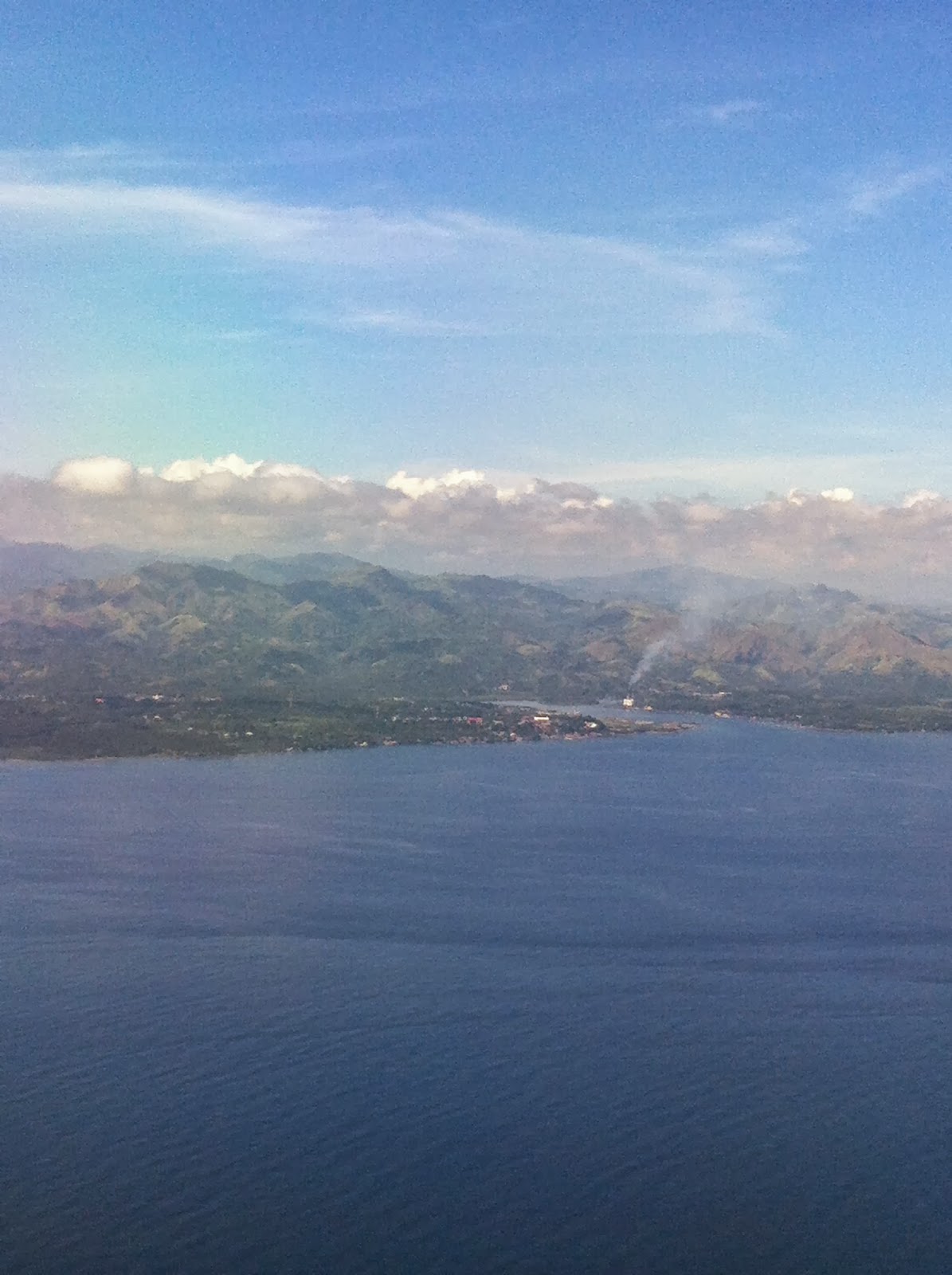
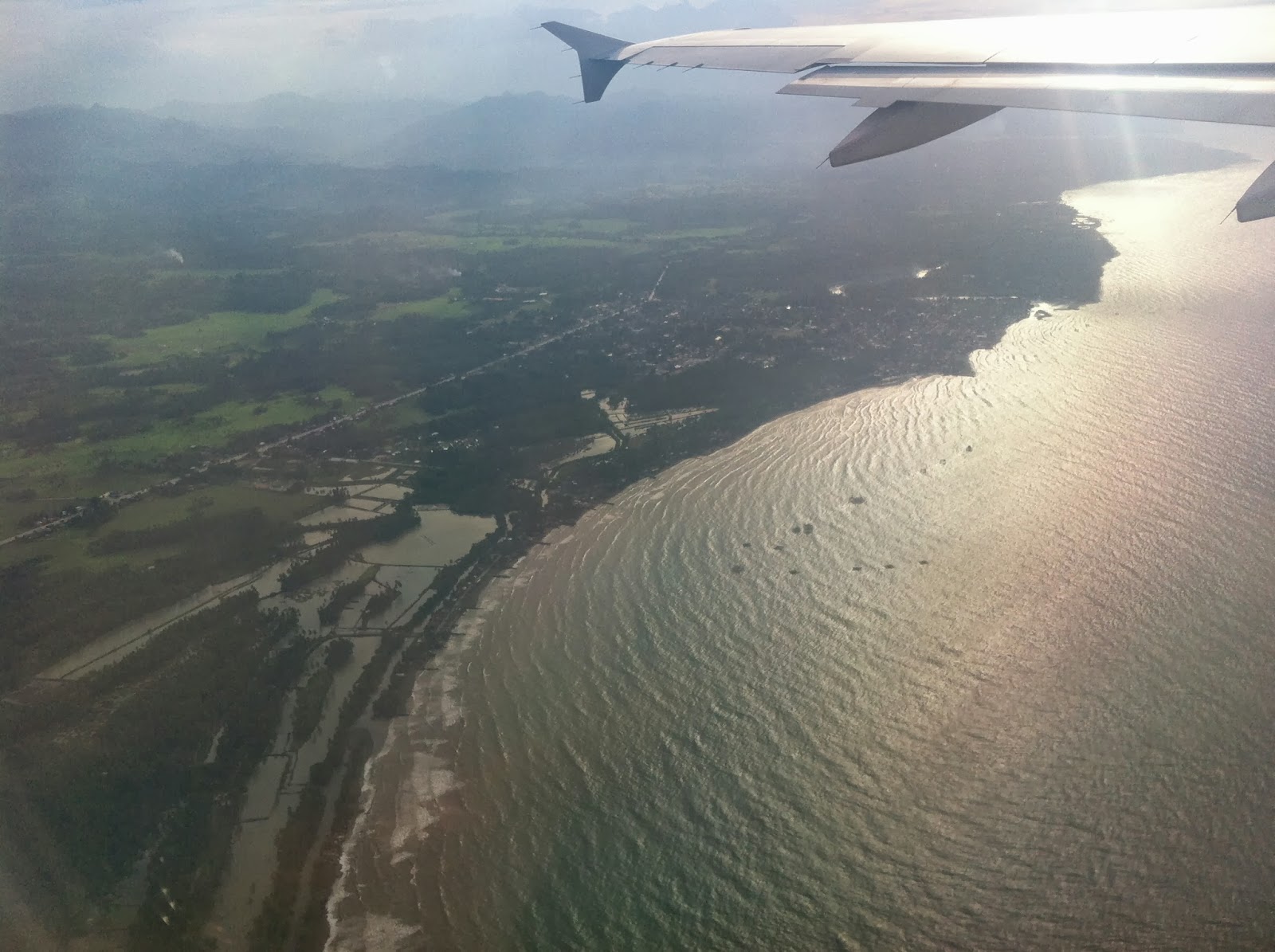
And finally, the approach to Butuan Airport. Gradients in the water. Butuan Bay. The town of Buenavista.


PREVIOUS: Butuan I: The Way to the South and Back
NEXT: Butuan III: Touristy Things
No comments:
Post a Comment